Your Cart is Empty
Gravel is Good! Gravel Cycling Near Black Moshannon State Park, PA
September 24, 2023 3 min read
Black Moshannon has cycling for everyone.
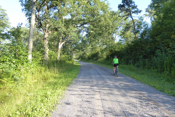
Gravel riding is a popular pastime for the right reasons: Cyclists can enjoy an outdoor adventure on roadways without terrifying traffic or distracted drivers. Black Moshannon State Park and Moshannon State Forest offer rewarding rides for those looking challenging loops! This area is also a fantastic place for beginner riders to sharpen their skills.
A number of gravel roads and ridable trails surround the outer borders of Black Moshannon State Park, an area affectionately known to locals as 'Black Mo'. This can be a little confusing, because Black Moshannon State Park is nestled in the larger area of Moshannon State Forest. You won't really know when you leave one area and enter the other, but the State Park is located around the lake, and has amenities like boat launches, campgrounds and rental cabins. The State Forest is just that, miles and miles of forest, with a delightful network of gravel roads throughout. This section of Forest sits on the edge of the Allegheny Plateau, which means that the road inclines are mostly gentle, even though some tough grades do exist.
Looking for a gentle ride, a gravel grinder, or dirt double track?
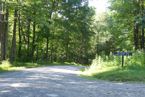
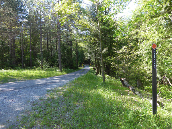
Gentle, more rolling roads include Underwood, Clay Mine, Huckleberry and Hanna Furnace. Several 10-15 mile loops exist using these roads. Some 30-40 mile loops (and longer) exist too, but you'll have to do a bit more climbing for these loops. More difficult roads include Benner Run Road, Tram Road, and North Run Road. There are also options for those who want to get off the road and explore some trails. Shared-use trails include Smays Run Trail, Shields Dam Trail, and Old Huckleberry Trail; all of which criss-cross this area. These red blazed trails are designated as Shared Use Trails on the Moshannon Quehanna Lizard Map and they are open for hiking, bicycling and equestrian use.
Where to park?
Several large parking areas offer a good starting point for gravel cycling. Tram Road Lot and Underwood Road Lot are both on the plateau for an easy start. Moss-Hanne Trail Lot and the State Park Beach Lot are both at low points in the area, so the ride from here would end in a downhill. It's also nice to cool your legs in the lake after a summer ride!
Prepare
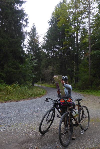
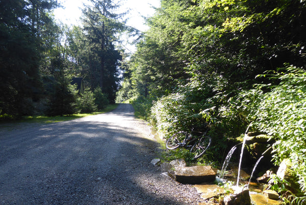
Cell phone coverage is very limited, so bring your Lizard Map and give your plans and expected return time to friends at home. Water is plentiful, but do not drink from Red Moshannon Creek! A great spot to stop that has year-round flowing water is a set of piped springs near Moose Head Lane. The State doesn't guarantee the purity of this water, but locals fill up jugs from this spring all the time.
Want to do an overnight gravel getaway?
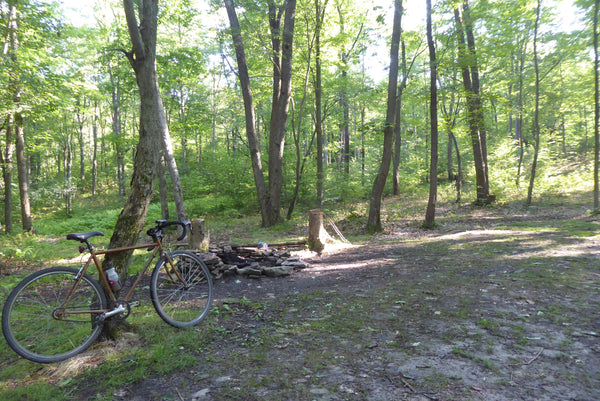
Camping is also an option in the state forest. Your Moshannon Lizard Map will point you in the right direction for established State Park camping. Primitive camping and car camping are allowed in the Moshannon State Forest with certain restrictions. You can find and reserve these campsites on-line through DCNR.
Keep your eyes peeled and... have fun!
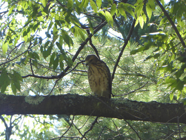
This forest is loaded with wildlife, so don't forget to keep your head up! Most roads in the forest are also open to vehicular traffic so bring bike lights especially if you plan to ride in Six Mile Run; the canyon gets very dark earlier than roads on the high plateau.
Our friends at the Pennsylvania Environmental Council (PEC) host an annual event at Black Moshannon as part fo thier Public Lands Ride. You can download a 57 mile route from thier website, and check out a great blog about this ride here
Start Your Adventure Today with Purple Lizard Maps
Subscribe
Sign up to get the latest on sales, new releases and more …
SIGN UP FOR LIZARD UPDATES
Join the Purple Lizard community & stay in the loop on the latest Purple Lizard product offerings, discounts, adventure ideas and more.


